Computerised landscape modelling

MENU Computerised landscape modelling
automatic generation of virtual modelling
use of GIS data for 100% georeferenced mock-ups
3D modelling optimisation for XXL mock-ups
exact virtual modelling
development of innovative technological tools
multi-format 3D printing
data video-projection on mock-ups

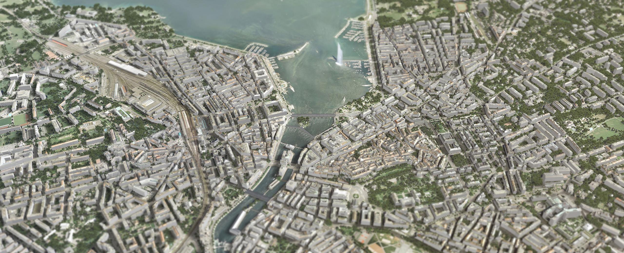
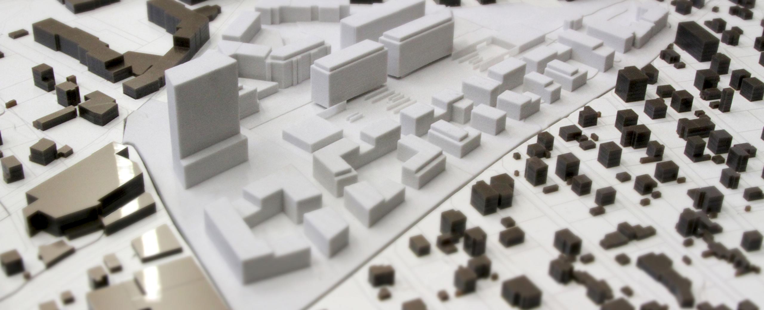
Computerised landscape modelling group

The Computerised Landscape Modelling qualification group (MIP) is attached to HEPIA's Institute Land Nature Landscape (inTNP).

  • Automatic generation of virtual models
  • Use of Geographical Information System (GIS) data for a 100% geo-referenced mock-up
  • Optimisation of 3D models for XXL mock-ups
  • Exact virtual models
  • Development of innovative technological tools
  • Multi-format 3D printing
  • Video-projection of data on mock-up
  • Image acquisition and 3D modelling by drone
  • Infrastructure of geographical data and publication of web maps