The landscape laboratory develops its activities for the following missions:
- 3D printing of digital models of the territory
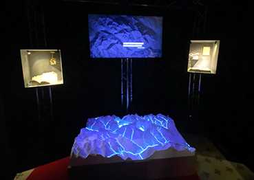
- Digital projection on physical models
- Publication of web maps
- Publication of geoprocessing
- Management and publication of cartographic geoservices
- Cartographic narratives and spatial dashboards
- Precision GNSS measurements
- GNSS tracking
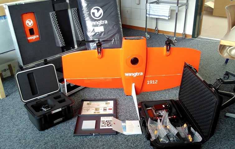
- Photogrammetric UAV flights, orthophotos, digital terrain models, multispectral images, vegetation indices