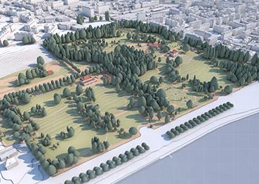
The project aims to develop a method for the creation of historical 3D virtual mock-ups of the Swiss territory. This interactive analysis and visualisation tool will, among other things, enable all the stakeholders in the planning process to very quickly understand the evolution of a territory and thus improve their actions. It will also be a great teaching tool for students in the professions related to land use planning. It is about developing a method to recreate the landscape from the years 1930 to the present.
It was during this period that urbanisation in Europe underwent the deepest upheavals. In addition, the data available allows you to faithfully recreate the landscape, relying, among other things, on aerial photos and accurate maps.
Project partner(s)
Project leader - team
Benjamin Dupont-Roy
(HEPIA),
Olivier Donzé
(HEPIA),
Nedjam Cadi